
Stream and Reservoir Information
Live river flows from USGS stream gages and reservoir levels from the Bureau of Reclamation.
Stream gaging stations operated by the U.S. Geological Survey in cooperation with the Weber Basin Water Conservancy District and the State of Utah, Department of Natural Resources, Division of Water Resources provide discharge and gage height information for the Weber and Ogden rivers. The Bureau of Reclamation provides reservoir information for the reservoirs within the Weber Basin Water Conservancy District.
We are currently working on a better way to show stream and reservoir information for the Weber Basin Water Conservancy District water supply. Until this work is finished please browse the following information from the U.S. Geological Survey (USGS) and U.S. Bureau of Reclamation websites.
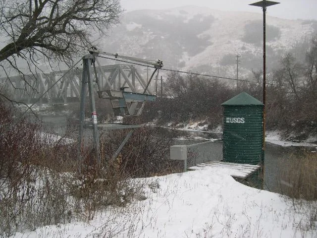
Stream gauges
Choose a river, then a station. Each button opens the station's live graph at USGS in a new tab. Discharge is in cubic feet per second and gauge height is measured in feet.
Weber River
Weber River Near Plain City, UT
Weber River at I-84, Uintah UT
Weber River at Gateway, UT
Weber River at Echo, UT
Weber River near Coalville, UT
Weber River near Wanship, UT
Weber River near Oakley, UT
Ogden River
Ogden River Below Pineview Reservoir
South Fork Ogden River near Huntsville, UT
East Canyon Creek
East Canyon Creek near Morgan, UT
East Canyon Creek above East Canyon Reservoir
Lost Creek
Lost Creek near Croyden, UT
Chalk Creek
Chalk Creek at Coalville, UT
Silver Creek
Silver Creek near Silver Creek Junction, UT